Voluntary - 43 Cfr 3809 Plan Of Operations Form - United States Department Of The Interior Page 9
Download a blank fillable Voluntary - 43 Cfr 3809 Plan Of Operations Form - United States Department Of The Interior in PDF format just by clicking the "DOWNLOAD PDF" button.
Open the file in any PDF-viewing software. Adobe Reader or any alternative for Windows or MacOS are required to access and complete fillable content.
Complete Voluntary - 43 Cfr 3809 Plan Of Operations Form - United States Department Of The Interior with your personal data - all interactive fields are highlighted in places where you should type, access drop-down lists or select multiple-choice options.
Some fillable PDF-files have the option of saving the completed form that contains your own data for later use or sending it out straight away.
ADVERTISEMENT
 1
1 2
2 3
3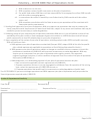 4
4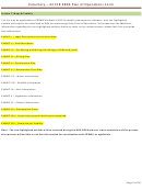 5
5 6
6 7
7 8
8 9
9 10
10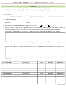 11
11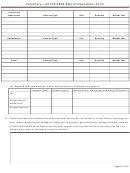 12
12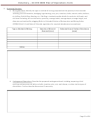 13
13 14
14 15
15 16
16 17
17 18
18 19
19 20
20 21
21 22
22 23
23 24
24 25
25 26
26 27
27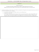 28
28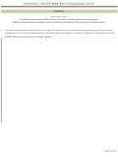 29
29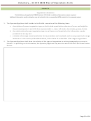 30
30 31
31 32
32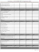 33
33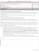 34
34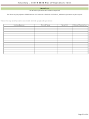 35
35 36
36Voluntary – 43 CFR 3809 Plan of Operations Form
EXHIBIT III
Pre-Mining and Mining Plan Map(s) of Affected Lands
This Exhibit may be applied to CDRMS Hardrock 112 Exhibit C or a portion of Hardrock 110 Exhibit E, additional information may be required.
Please include an accurate topographic base map showing the location of the proposed project with this form. The
prospector may submit a U.S.G.S 7.5 minute quadrangle or similar map of adequate scale.
One or more maps may be necessary to legibly portray the following information:
1. all immediately adjoining surface owners of record112(4)(c);
2. the name and location of all creeks, roads, buildings, oil and gas wells and lines, and power and
communication lines on the area of affected land and within two hundred (200) feet of all boundaries of
such area112(4)(e);
3. the existing topography of the area with contour lines of sufficient detail to portray the direction and rate of
slope of the affected land112(4)(g);
4. the total area to be involved in the operation, including the area to be mined and the area of affected lands
(see definition of "Affected Land")112(4)(f) ;
5. the type of present vegetation covering the affected lands112(4)(i); and in conjunction with Exhibit G -
Water Information, Subsection 6.4.7, if required by the Office, further water resources information will be
presented on a map in this section. 112(3)(c) and 115(409e)
6. Show the owner's name, type of structures, and location of all significant, valuable, and permanent man-
made structures contained on the area of affected land and within two hundred (200) feet of the affected
land.
7. In conjunction with Exhibit I - Soils Information, Subsection 6.4.9, soils information may be presented on a
map in this section;
a. Aerial photos, if available, may be included in this section.
Page 9 of 36
ADVERTISEMENT
0 votes
Related Articles
Related forms


 Bidder Financial Form - United States Department Of The Interior Bureau Of Ocean Energy Management
Financial
Bidder Financial Form - United States Department Of The Interior Bureau Of Ocean Energy Management
Financial


 And/or A Tunnel Site - United States Department Of The Interior - Bureau Of Land Management - 2016") Form 3830-3 - Notice Of Intent To Locate A Lode Or Placer Mining Claim(s) And/or A Tunnel Site - United States Department Of The Interior - Bureau Of Land Management - 2016
Legal
Form 3830-3 - Notice Of Intent To Locate A Lode Or Placer Mining Claim(s) And/or A Tunnel Site - United States Department Of The Interior - Bureau Of Land Management - 2016
Legal
 Form 1221-2 - Manual Transmittal Sheet - United States Department Of The Interior Bureau Of Land Management
Legal
Form 1221-2 - Manual Transmittal Sheet - United States Department Of The Interior Bureau Of Land Management
Legal
 Form 5-5519 - Cash Penal Bond For Grazing Permits -department Of The Interior Bureau Of Indian Affairs
Legal
Form 5-5519 - Cash Penal Bond For Grazing Permits -department Of The Interior Bureau Of Indian Affairs
Legal


Related Categories
Parent category: Legal